
A Beaumont Street Directory Walk
For a current Beaumont street search, begin with the address and keep a short record for each parcel. The free Jefferson Central Appraisal District property search for Beaumont is the first stop because it ties a Beaumont address to the owner of record, situs, legal description, and parcel identifiers. The mapped Beaumont parcel can then show which lots touch or front the same street. Beaumont ownership becomes stronger when the appraisal result and recorded instrument agree. Historic Beaumont directory entries can add a past address lead, but they should not be blended into a current household claim.
- Enter the street number and simplified street name in JCAD for the Beaumont address. Record the Property ID or Geographic ID, situs, legal description, owner name, tax year, and the search date.
- Open the same Beaumont parcel in JCAD GIS Online, then pan along the street and select the adjoining or fronting polygons one at a time.
- Use the Jefferson County Official Records index to locate the current Beaumont owner's acquisition as grantee, then identify the seller as the prior link in the chain.
- For a lawful individual registration-status question, use VoteTexas or contact the Jefferson County registrar in Beaumont. It is not a street-by-street browsing tool.
- For an older address, ask Tyrrell Historical Library for the street or address section of the relevant Beaumont directory and for the historic deed index.
The Beaumont working sequence for a Beaumont street is address to JCAD, GIS parcel, deed, limited voter confirmation, then historic directory. Save each Beaumont source and date at every handoff. That makes it easier to spot a changed Beaumont parcel, a mailing address, or an old street form that needs a second search.
Beaumont Street Directory Fields
JCAD makes a Beaumont street search more precise than a single full-address box. Its Street Name field should contain no prefix, suffix, or unit number. A difficult Beaumont address may work as a street name alone, then with the number added. Owner searches accept a last and first name or either name alone. Advanced controls let a Beaumont street directory search narrow results without guessing at an address format.
| Beaumont JCAD field | Beaumont street search use | Beaumont record to retain |
|---|---|---|
| Street Number and Street Name | Use a number with a simple Beaumont street name. Omit direction, suffix, and unit from Street Name. | Beaumont situs and matched parcel |
| Owner Name | Use last name, first name, or both after a Beaumont address result supplies a candidate. | Beaumont owner name and Owner ID |
| Property ID and Geographic ID | Use either identifier when a Beaumont street has similar numbers or a changed address. | Beaumont parcel identity across searches |
| Subdivision and Neighborhood | Use Advanced search to narrow a broad Beaumont street result. | Beaumont legal-area context |
| Property Type and Tax Year | Property Type offers Real, Personal, Mineral, Auto, and Mobile Home. Tax Year choices run from 2018 through 2027. | Beaumont record scope and year viewed |
A Beaumont JCAD result can include owner and owner ID, address, legal description, appraised value, property type, tax year, Street Number, Street Name, subdivision, and related identifiers. A mailing address may appear separately on a Beaumont parcel card. It directs tax notices and can name a business, trust, estate, representative, or another address, so it does not establish a present residence.
Beaumont Street Roll Dates
Current Beaumont street work needs a date as well as an address. JCAD's data page identifies the 2025 appraisal roll as certified on July 21, 2025, and the 2026 roll as certified on July 20, 2026. Its GIS parcel data was marked updated in August 2026. Those markers identify when the Beaumont roll and map data were published. They do not establish the date of a sale, a move, a deed, or a code case.
For a Beaumont parcel, retain the selected Tax Year beside the Property Type and search date. The live JCAD menu offers Real, Personal, Mineral, Auto, and Mobile Home, so property type can prevent an unlike record from being treated as a street parcel. A property-roll starting year is not stated on the public search. When a Beaumont address needs an earlier appraisal or ownership check, use the recorded-deed and library fallbacks rather than assuming an online result reaches every period.
Beaumont Streets on JCAD GIS
The JCAD GIS Online parcel viewer for Beaumont parcels is useful after a property-search match, not as a replacement for one. Select the target Beaumont parcel, preserve the same map scale, and click each parcel sharing a boundary or fronting the Beaumont street. Record the parcel identifier, situs, and legal description before returning to JCAD for the Beaumont owner and mailing fields. The research did not verify a buffer or radius control, so manual parcel-by-parcel review is the supported method.
Beaumont JCAD GIS Online supplies the parcel-map view used for this Beaumont street directory work.
Mapped Beaumont geometry shows where parcels lie. Check the live Beaumont appraisal record before treating a mapped label as the current owner record, especially when map and roll update schedules differ.
Beaumont Street Tax Accounts
The Jefferson County Tax Office account search for Beaumont properties provides a useful second address path. Its Property Address field works as a starts-with search. A second optional criterion can narrow the result by owner name, property address, account number, CAD reference number, or fiduciary number. This is especially helpful where a short Beaumont street name produces many matches.
Beaumont tax-account information can corroborate an account number, a CAD reference, an owner field, and a property address. It also handles balances and certified-statement options, which are different from a deed record. A tax account is not a list of people at the Beaumont address. Keep the tax data with its account reference and compare it with JCAD rather than assuming both systems display identical timing or labels.
Deeds Along Beaumont Streets
The Jefferson County Official Records Search for Beaumont property supplies the document side of a Beaumont street directory trail. Quick and Advanced Search accept a grantor or grantee name, subdivision, document type, document number, and recorded-date range. The portal also offers an index-only scope and an index plus OCR scope. OCR can help discover a term inside a document, but it should be checked against the indexed record and image access conditions.
Work backward from the Beaumont parcel owner as grantee around the acquisition date. Capture the deed's recorded date, document number, legal description, and seller. Search the seller as a prior grantee, then switch to the Beaumont subdivision and lot-block description when an old street form fails. The online start date is not stated. Tyrrell's Jefferson County Index to Deeds, covering 1836 through 1946, and clerk microfilm or counter records provide the Beaumont historical bridge.
The official Beaumont records-search portal shows Quick Search controls, date ranges, and index or OCR scope.
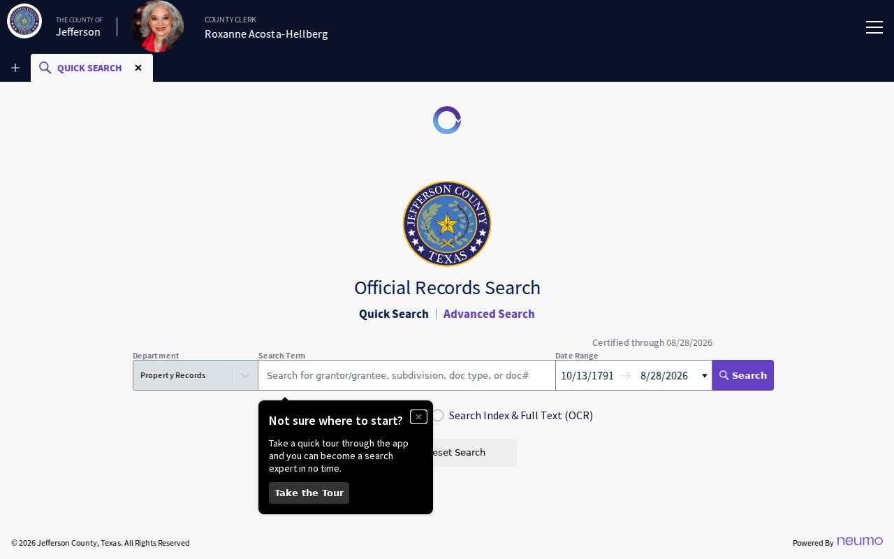
Beaumont deed results are most dependable when the legal description and parcel trail agree. A document can show a conveyance without proving every person who later stayed at the address.
Beaumont Street Permit Context
Beaumont Interactive Maps add address-linked context such as permits, code cases, zoning, floodplain, utilities, and ward boundaries. Those layers can help date a project or identify a case to request. The City warns that its public maps are nonofficial and may be incomplete. For an official map or a complete file, direct a written Public Information Act request to the City Clerk rather than relying on a map label alone.
City code evidence is narrow but useful. A published red-tag list demonstrates that a case table may include a case number, location with address and ZIP, and owner name. It is a sample of administrative evidence, not a complete street directory. Full permit or code records can be requested by case number or address, with the request describing the records sought and the date range.
For a Beaumont official-map or file request, use the City's OneRequest Public Records Center, mail, fax, or in-person route with a written description of the Beaumont address, case number, map layer, and time span needed. A telephone call alone is not a Public Information Act request. OneRequest allows a guest one-time request or an account for request history and responsive-record downloads. The City says requests generally receive a response in 7-10 business days, while the Texas statutory process controls any exception or timing issue.
Beaumont Street Record Terms
Street records use several address labels that should stay separate in a Beaumont street directory search. A deed's legal description is often more durable than the house number. The terms below prevent a tax contact or map label from being mistaken for a household confirmation.
- Parcel
- A mapped piece of land in the appraisal system, usually tied to a Property ID or Geographic ID.
- Situs address
- The address of the land or building being assessed. It identifies the property, not every person connected with it.
- Plat
- A recorded map that lays out a subdivision, street, lot, block, easements, or related boundaries.
- Criss-cross directory
- An address-oriented directory section used to look for historical occupants by street when one is available for the target year.
Old Beaumont Street Listings
For an earlier street trail, Tyrrell Historical Library holds Beaumont city directories beginning in 1903 according to its research page, while a 2026 library newsletter describes a practical run from 1904 to present. Search the alphabetic listing and then the address or street section where present. A separate named reverse-directory run has not been confirmed, so ask reference staff about the volume for the exact year instead of assuming one exists.
Tyrrell also holds the 1836-1946 Jefferson County deed index, tax and probate material, newspapers, and local-history resources. The Library of Congress' 1904 Beaumont Sanborn volume has 26 sheets and can show building footprint, construction, use, and street context. It does not name ordinary occupants. For the broader historical shelf and how to read a volume, use the Beaumont city directory collections.
Beaumont Street Boundary Checks
A postal ZIP, the City of Beaumont limit, a situs address, and a deed legal description are separate location facts. A Beaumont mailing city can cover land outside the municipal boundary, and a parcel may change through a split, combination, or replat while the street address remains familiar. Use the city limits layer or a City Clerk request for municipal status. Use USPS ZIP Code Lookup to verify the ZIP for the exact address.
JCAD's simplified Street Name instruction matters when a direction, suffix, unit, or historical variation prevents a match. Try the street core, test the number separately, and move to the lot-block or subdivision description if an address has changed. Do not infer a street's official city status from a postal label alone.
Beaumont Street Directory Limits
A property roll identifies an owner of record, not all current residents. Renters and household members are not listed as a normal parcel result. DMV personal-address data is restricted, utility and delivery records are not public street lists, and protected voter information can be withheld. A homestead indicator can support a tax-use conclusion, but it does not prove that every occupant is an owner or that an owner is currently present.
The VoteTexas registration lookup shows the individual methods available for a lawful Beaumont voter-status question.
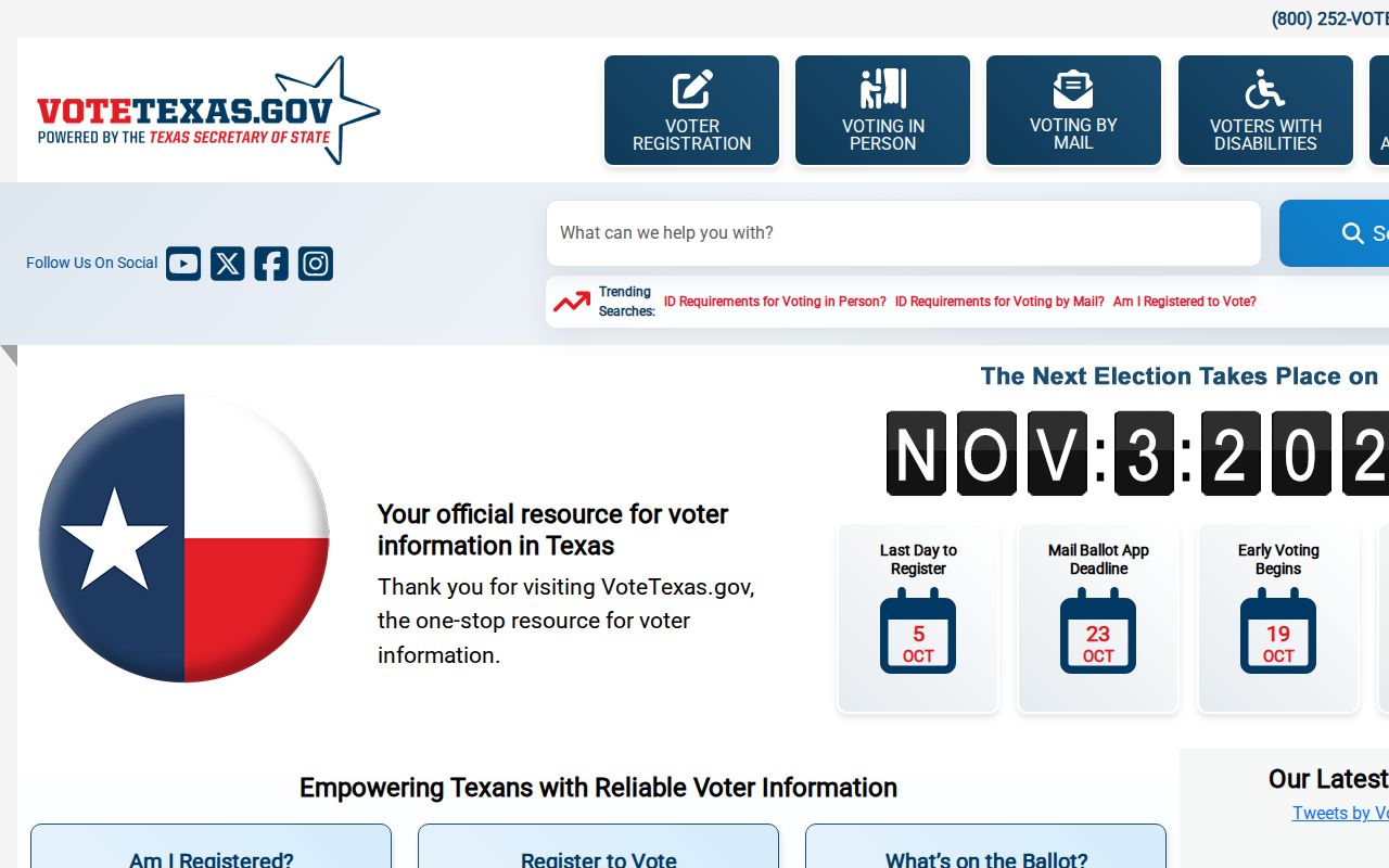
The screen supports an individual registration check, not a list of a Beaumont street’s households. Protected and confidential voter information remains outside that use.
Lawful use. Use Beaumont address records for personal, lawful research, family history, property questions, or civic transparency. Texas Penal Code Sections 42.07 and 42.072 address harassment and stalking; never use address information to watch, harass, intimidate, or harm someone.